SSPL turns drone, ground, and satellite survey data into well-planned roads, drainage networks, and industrial parks — built on engineering know-how, GIS, and AI.
Explore solutions About SSPLWe bring every stage of planning together, so good decisions are made early and projects move without friction.
Drone, ground and satellite survey data brought into one place.
Terrain comes alive as clear 3D models of the land.
Roads, drainage and green spaces planned to fit the land.
Ready-to-build designs for safe, lasting infrastructure.
Drag the slider to see what good planning and engineering make possible.
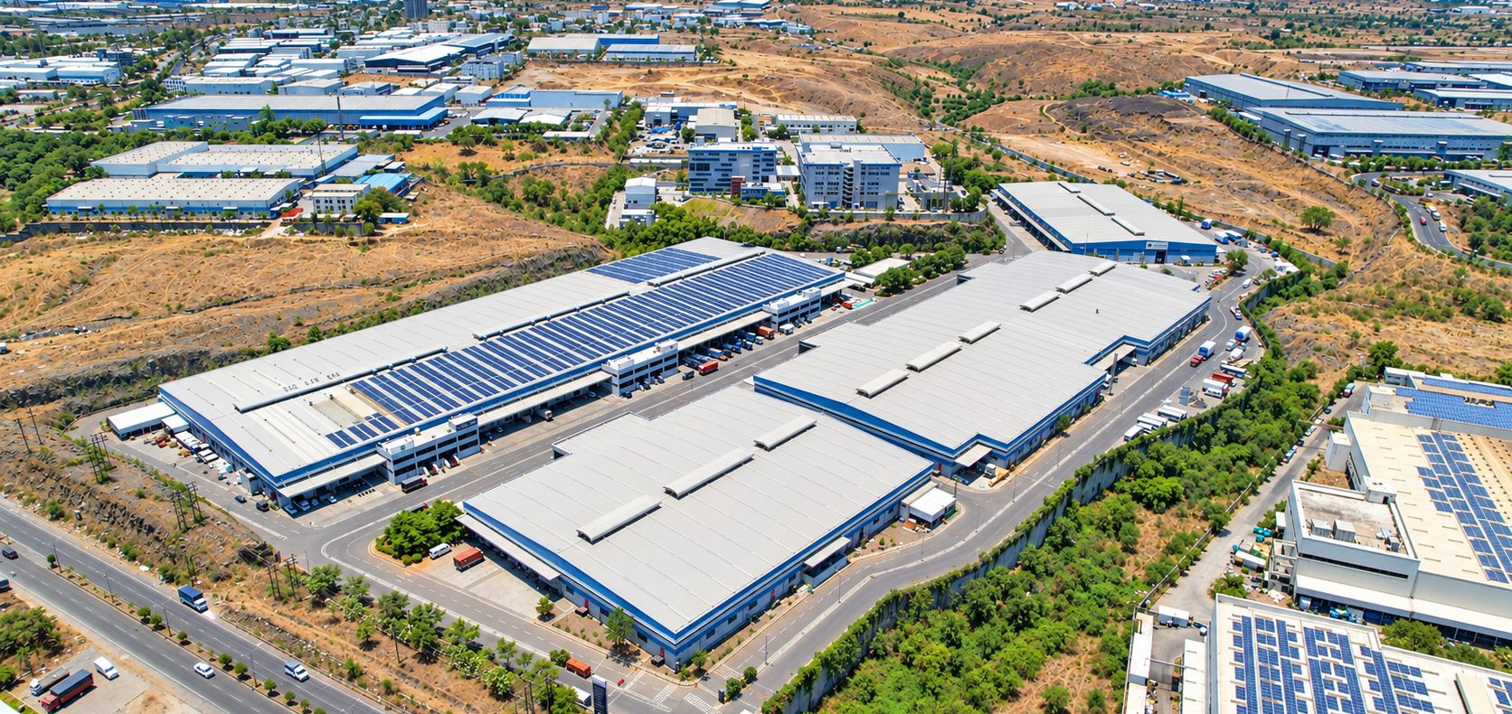
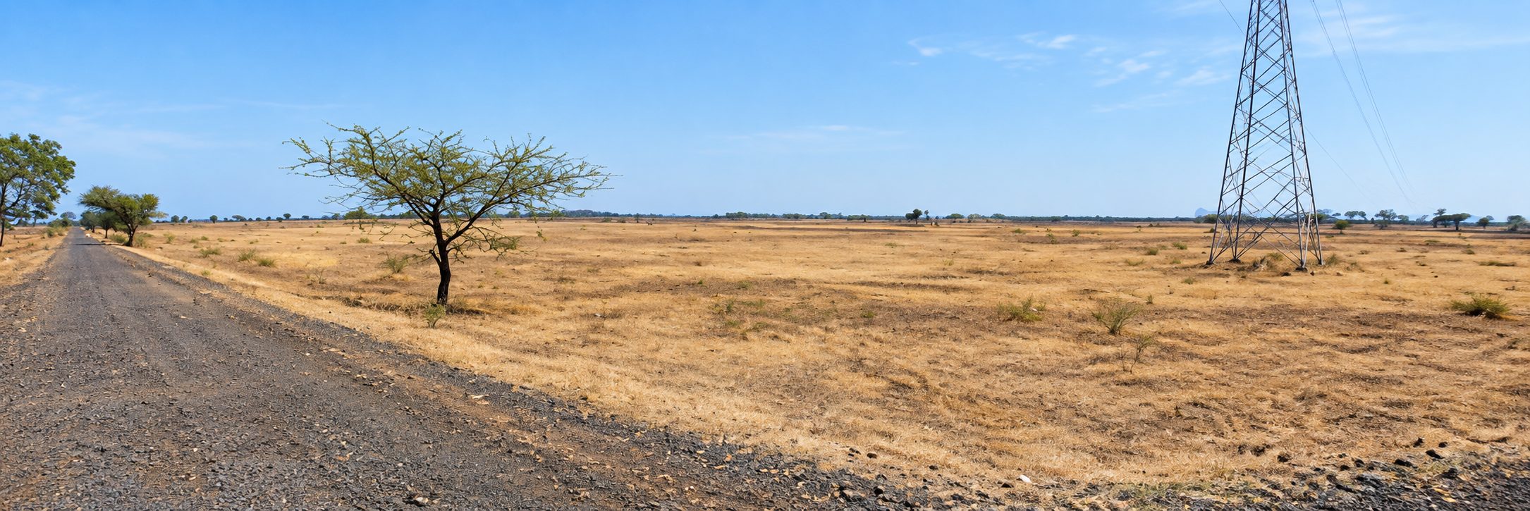
Purpose-built tools from Shivam Soft Tech for terrain, roads and water — shaped by real engineering practice.
Turn survey data into accurate digital terrain you can trust.
Learn moreDesign safe, efficient road corridors faster and with confidence.
Learn morePlan drainage and water networks that stand up to heavy rain.
Learn moreSSPL combines AI, GIS platforms and custom software development to help planners see more, sooner.
Smart insights from imagery, data and designs.
One map for every layer of a project.
Web and desktop tools built around your workflow.
Repetitive work done in minutes, not days.
Survey, planning and review stay connected, so a change in one place flows through everywhere.
Corridors that connect regions.
Planned for growth and green space.
Resilient drainage for every season.
Townships that work for people.
Shaped by real civil engineering practice, not generic software.
Designs that stand up to review, every time.
Less repetitive work, more time to engineer.
Engineers, GIS specialists and developers — we'd love to hear from you.
Life at SSPLBook a walkthrough with the Shivam Soft Tech team.
Request a demo